 Sintra City Guide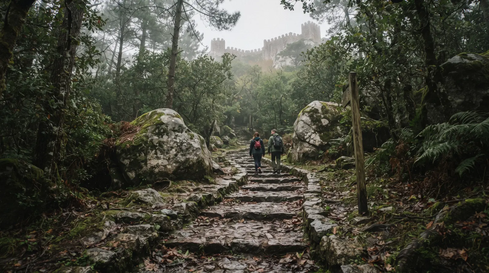
Sintra Hiking
Sintra hiking runs on 16 official trails from two publishers. Around the town and the hill there are short marked paths to the Moorish Castle and Pena Palace, published by Parques de Sintra with distances and walking times. Across the wider municipality, and through the Sintra-Cascais Natural Park, the municipality publishes twelve Pequenas Rotas, numbered PR1 to PR13 with PR2 and PR3 merged, plus the long GR11-E9, which starts at Azóia, 4.5 km from Cabo da Roca. This page lists every official trail with its published distance and climb, explains the closures and bus lines you need to know, and separates what the sources say from what they leave out. Tickets, palaces and day plans start on the Sintra planning homepage.
Quick answer The short version for walkers
Sintra's marked walking network comes from two official publishers. Parques de Sintra marks three short trails up to the Moorish Castle, with distances and durations from 45 minutes to 1 hour 30. The municipality marks twelve Pequenas Rotas, numbered PR1 to PR13 with PR2 and PR3 merged, plus the 29.7 km GR11-E9, and publishes distance and cumulative ascent but no walking times, except about six hours for the GR. Before any walk, check the official trail notice, because Visit Sintra reports the Serra de Sintra routes unavailable for safety after adverse weather, and two coast sections are impassable for works.
Key takeaways
- The castle ticket you need at the top of most hill walks is the skip-the-line Castle of the Moors ticket, and the castle itself is covered on our Moorish Castle page.
- Every trail's distance and climb is set out in the full trail table.
- Read the closure and access section before you commit to a route.
Every Official Sintra Trail, With Distance and Climb
Sixteen official Sintra trails, with lengths and climbs from Parques de Sintra's access page and Visit Sintra's municipal walking page.
| Trail | Length | Ascent or time | Start | Publisher |
|---|---|---|---|---|
| Santa Maria Trail | 1,770 m | 1 h | Info Parques de Sintra in São Pedro de Sintra | Parques de Sintra |
| Seteais Trail | 2,410 m | 1 h 30 | Palace of Seteais | Parques de Sintra |
| Villa Sassetti Trail | 1,850 m | 45 min | Largo Ferreira de Castro | Parques de Sintra |
| PR1 Santa Maria | 1.9 km circular | +141 m | Largo Rainha D. Amélia | Municipality / Visit Sintra |
| PR2/3 Pena e Mouros | 4.5 km circular | +140 m | Palácio Nacional da Vila | Municipality / Visit Sintra |
| PR4 Seteais | 3.5 km circular | +212 m | Palácio Nacional | Municipality / Visit Sintra |
| PR5 Quintas | 2.3 km circular | +128 m | Palácio Nacional | Municipality / Visit Sintra |
| PR6 Rio da Mula | 11.3 km circular | +664 m | Barragem do Rio da Mula | Municipality / Visit Sintra |
| PR7 Cabo da Roca | 13.2 km circular | +497 m | Cabo da Roca | Municipality / Visit Sintra |
| PR8 Vinho de Colares | 15.5 km circular | +280 m | Adega Regional de Colares | Municipality / Visit Sintra |
| PR9 Rota das Aldeias | 13.5 km circular | +273 m | Largo de S. João das Lampas | Municipality / Visit Sintra |
| PR10 Peninha | 5.9 km | +252 m | Largo da Peninha | Municipality / Visit Sintra |
| PR11 Capuchos | 4.9 km | +343 m | Largo dos Capuchos | Municipality / Visit Sintra |
| PR12 Lapiás | 8 km | +280 m | Parque da Segueteira, Maceira | Municipality / Visit Sintra |
| PR13 Sintra Praias a Norte | 15.5 km circular | +634 m | São Julião beach car park | Municipality / Visit Sintra |
| GR11-E9 Caminho do Atlântico | 29.7 km linear | +825 m, about 6 h | Azóia, 4.5 km from Cabo da Roca | Municipality / Visit Sintra |
The municipal publisher states distance and cumulative ascent but no walking durations, and this page does not invent them. Only the GR11-E9 carries an official average duration. The three Parques de Sintra trails lead to the Moorish Castle. The PR routes and the GR are municipal, self-guided and waymarked on the ground. Durations are not published for PR1 to PR13. Figures current for in Q3 2026.
Before You Set Out: Closures and Impassable Sections
Two official notices change the picture on the ground, and one recurring event pattern matters for any hilltop plan.
The Serra Trail Notice
Visit Sintra's walking page carries a notice, an AVISO in the original, stating that because of continuous adverse weather, and for safety reasons, the cycling and walking routes in the Serra de Sintra are not available for use. No reopening date is given. This is the municipality's own notice about its own routes, so it governs the PR trails that cross the hill. The practical consequence is simple: check the Visit Sintra walking page on the day you plan to walk, because the notice can be live even when the town below looks fine.
The notice names the Serra routes. The same page carries every municipal route, so one check covers whichever trail you plan.
The Impassable Coast Section
Two routes share a second problem. The official page for PR7 Cabo da Roca states that the route is impassable between Praia da Adraga and Praia Grande because of works to create the Parque Ecológico Adraga - Praia Grande. The GR11-E9, which follows the same coast, carries the same note. If your plan depends on walking the cliff line between those two beaches, it does not currently work as published. Praia da Adraga is reachable by other means, so you can still visit either end of the closed stretch and walk the open parts of each route.
No official reopening date for the works is published on the trail page.
Hilltop Sites Close for Wind
On 16 December 2025, Parques de Sintra closed the Moorish Castle, Pena Park and Palace, Monserrate Park and Palace and the Convent of the Capuchos on the same day because of strong winds in the Sintra mountains. The pedestrian Vila Sassetti entrance was also shut, and road access was restricted to buses removing visitors who were already inside. The official notice gave no reopening date.
This matters for hikers because the endpoints of the castle trails are ticketed monuments. A trail can be walkable while the monument at the top of it is closed. Check Parques de Sintra's notices on the morning of your walk, especially from autumn through winter, and read our castle page and Pena page before travelling.
Villa Sassetti, the Free Trailhead
The Villa Sassetti Trail, the quickest of the three Parques de Sintra castle trails, starts at Largo Ferreira de Castro and climbs past Villa Sassetti, which Parques de Sintra lists as free and open 10:00-18:00. The pedestrian Vila Sassetti entrance was among the access points shut in the December 2025 wind closure, so it is worth checking on a stormy day.
Walking Up to the Moorish Castle and Pena
Three marked trails climb from the town to the Moorish Castle, published by Parques de Sintra with exact lengths and walking times. The municipal PR2/3 loop adds a longer alternative that links the castle and Pena.
The Three Parques de Sintra Trails
The Santa Maria Trail starts at the Info Parques de Sintra point in São Pedro de Sintra and runs 1,770 m, with a published time of 1 hour. The Seteais Trail starts at the Palace of Seteais and runs 2,410 m, taking 1 hour 30, the longest of the three. The Villa Sassetti Trail starts at Largo Ferreira de Castro and runs 1,850 m in 45 minutes, the quickest route to the castle walls.
All three end at the castle, which is a ticketed monument. Access to the Moorish Castle is not authorised for private vehicles. Parques de Sintra recommends pedestrian trails, public transport or the peripheral car parks, which is exactly why these marked footpaths exist.
The Municipal Loop: PR2/3 Pena e Mouros
PR2/3 is a circular route of about 4.5 km with 140 m of cumulative ascent, starting at the Palácio Nacional da Vila in the town centre. It links Fonte da Sabuga, the Igreja de Santa Maria, São Pedro de Penaferrim, the Castelo dos Mouros, the Palácio da Pena and the Parque da Liberdade before returning. It is the route that ties the two hilltop monuments into one walk from town.
The municipality publishes no duration for it. You can read the climb, 140 m, and judge for yourself, or compare it against the Parques trails where times are given.
Tickets at the Top
The Moorish Castle costs $13.84 (€12) for adults, with youth and senior tickets at $11.54 (€10) and a family ticket at $38.10 (€33). It is open 09:30-18:00 with the last ticket at 17:30. Ticket offices at the castle, like those at the Sintra National Palace and Monserrate, close 12:00-13:00, with automatic vending machines available in that window.
Pena has two tiers that matter to walkers. The Park of Pena only ticket is $13.84 (€12) for adults, and the Park and Palace Essential visit is $23.10 (€20). Pena Park opens 09:00-19:00 with last admission at 18:00. The full price list, options and booking routes are on our Pena Palace tickets page. If you want the castle handled in one purchase, the Castle of the Moors skip-the-line ticket with audio guide and transport covers entry, and the Pena Park and palace exterior ticket with audio tour covers the park side.
The records also state is that the Chalet and Garden of the Countess of Edla is included in both Pena park tickets, opens 09:00-17:30 with last admission at 17:00, and that its own entrance gate closes 12:00-14:00.
Short Loops From the Town Centre
Three municipal Pequenas Rotas start at Largo Rainha D. Amélia by the National Palace in Sintra Vila, in the historic centre itself.
PR1 Santa Maria, the Town Circuit
PR1 is a circular route of about 1.9 km with 141 m of cumulative ascent, rated low difficulty. It starts at Largo Rainha D. Amélia by the Palácio Nacional de Sintra and passes the Fonte da Sabuga, the Igreja de Santa Maria and the Parque da Liberdade. As the shortest municipal route it works as a warm-up or as an option for a short day.
No walking time is published for it. The municipality gives distance and climb only, and we do not add our own estimates for individual routes.
PR4 Seteais, the Steep One
PR4 runs about 3.5 km with 212 m of cumulative ascent, and the official description flags a steep gradient. It starts at the National Palace and links the Torre do Relógio, the Igreja de São Martinho, Quinta da Regaleira, the Hotel Palácio de Seteais, the Rampa da Pena and the Fonte da Pipa. The Seteais section puts it alongside the grounds of the Seteais Palace, and it shares geography with the Parques de Sintra Seteais Trail, which starts from the palace itself.
Because the climb is compressed into a short circuit, this is the town loop where the ascent figure deserves respect. Read it as 212 m inside 3.5 km.
PR5 Quintas, the Estate Trail
PR5 is a circular route of about 2.3 km with 128 m of cumulative ascent, also starting at the National Palace. It strings together the quintas that give it its name: Quinta da Regaleira, Quinta do Relógio, Quinta do Castanheiro, Quinta dos Alfinetes, Quinta D. Amélia and Quinta dos Castanhais. It is a walk through the historic estate landscape around town rather than a wild route.
Note that passing Quinta da Regaleira on the trail is not the same as visiting it. The estate is separately ticketed, and our Regaleira tickets page covers entry. PR1, PR4 and PR5 all share the same start area, so you can chain them into a longer town day if the notice situation allows.
The High Serra: Capuchos, Peninha and Rio da Mula
Three longer municipal routes cross the top of the Serra de Sintra inside and around the Sintra-Cascais Natural Park. These are the walks that feel like mountains rather than gardens.
PR6 Rio da Mula, the Big Climb
PR6 is a circular route of about 11.3 km with 664 m of cumulative ascent, the biggest climb of any PR. It starts at the Barragem do Rio da Mula and links the dam, the Convento dos Capuchos, the Memorial dos Soldados and Pedra Amarela. The official description warns of mountain terrain, varied and less stable underfoot, especially in winter.
The route passes the Convent of the Capuchos, founded in 1560, which is a ticketed monument: adult admission $12.69 (€11), open 09:00-17:30 with last admission at 17:00. Plan the walk so you arrive inside those hours if visiting the convent is part of the day.
PR11 Capuchos and PR10 Peninha
PR11 runs 4.9 km from Largo dos Capuchos with 343 m of ascent, along the top of the Serra between Cruz Alta and Peninha. Its waypoints carry the area's deep history: the Convento dos Capuchos, the Memorial dos Soldados, raised to soldiers who died fighting the great fire of 1966, and the Tholos do Monge, a collective prehistoric tomb dated 2500-1500 BC and reused in the Bronze Age between 1800 and 800 BC.
PR10 starts at the Largo da Peninha parking terrace and runs 5.9 km with 252 m of ascent. It passes the Ermida da Nossa Senhora da Peninha, the Ermida de São Saturnino, the Adrenunes rocks, which resemble a megalithic anta, and the Pedras Irmãs. The published reward is the view: the coast from Cabo Espichel to the Berlengas. The Santuário da Peninha itself is listed by Visit Sintra as a viewpoint.
Cruz Alta, the Ticketed Summit
Cruz Alta is the highest point of the Serra de Sintra at 528 m per Parques de Sintra, and it sits inside Pena Park, which means access comes through the ticketed Park and Palace of Pena admission, not a free trail. The current cross was carved from a single block of limestone in 2008, replacing earlier crosses placed since the 1520s. From the summit the views take in Lisbon and Cascais to the south, the Atlantic to the west and the rural Setúbal area to the north.
For walkers, the practical reading is that the Serra's roof is reachable only with a Pena park ticket, while the free municipal routes like PR11 run along the ridge below it. Our full options are on the Pena Palace tickets page.
Coast Trails: Cabo da Roca, Colares and the Northern Beaches
The coast routes are the longest walks in the network, running from Cabo da Roca through Colares wine country and the northern beaches.
PR7 Cabo da Roca and the Closure
PR7 is a circular route of about 13.2 km with 497 m of cumulative ascent, starting at Cabo da Roca itself. It runs via Ulgueira, Praia da Adraga, Praia Grande do Rodízio, with its dinosaur footprints, and Almoçageme. The official page states plainly that the route is impassable between Praia da Adraga and Praia Grande because of works for the Parque Ecológico Adraga - Praia Grande, so a full circuit is not currently possible as marked.
The cape at the start is the westernmost point of mainland Europe. The lighthouse courtyard and interpretation area are open 09:30-17:30 with last admission at 17:00, and the Essential visit costs $5.77 (€5). Visit Sintra's Cabo da Roca page describes the lighthouse's light reaching about 26 nautical miles, roughly 48 km, and a certificate of presence sold at the local tourist office.
PR8 Vinho de Colares
PR8 is a circular route of about 15.5 km with only 280 m of ascent, which the official description calls almost flat, running between pine wood and Atlantic coast. It starts at the Adega Regional de Colares and links the Adega Regional, the Pinhal da Nazaré, the Ramisco vineyards, Fontanelas and Janas. The wine it is named after grows in sand: the Colares region has been demarcated since 1908, and vines near the sea are protected by cane windbreaks. Adega Regional de Colares was founded in 1931 and today gathers more than half the region's production.
If you want to turn the trail into a wine day, Visit Sintra's Rota do Vinho de Colares proposes one-day routes that combine PR8 with tastings, and says to contact each producer in advance to book.
PR13 and the GR11-E9
PR13 Sintra Praias a Norte is a circular route of about 15.5 km with 634 m of ascent, starting at the São Julião beach car park. It links Praia de São Julião, Praia da Vigia, Praia da Samarra, Tojeira, a Roman road, Catribana, Cortesia and Assafora. It starts north of the closed Adraga to Praia Grande stretch, so the works notice does not touch its published route.
The GR11-E9, the Grande Rota Caminho do Atlântico, is the network's only linear route: 29.7 km from Azóia, 4.5 km from Cabo da Roca, to Carvalhal, with 825 m of cumulative ascent and an average duration of about six hours, the only published walking time among the municipal routes. It carries the same impassable note for the Adraga to Praia Grande section.
Buses to the Trailheads
Two Carris Metropolitana lines serve the cape: 1253, the circular line from Sintra station via Cabo da Roca, and 1624 from Cascais via Azóia and Almoçageme. In the operator's timetable data, the Cabo da Roca stop was 41-51 minutes after departure from Sintra station on line 1253, and 31-33 minutes from Cascais Terminal on the 1624 variants that serve the cape. Some 1624 variants pass the Azóia turn-off without the Cabo Roca stop, so check the variant. Both lines also stop at Estr do Cabo da Roca (X) Ursa, the junction stop for the Ursa path.
For PR8, lines 1242, 1250 and 1254 stop at Av Cel Linhares Lima (Adega Colares), the trail's start. Line 1254 also stops at Praia Grande, Praia Maçãs and the Azenhas do Mar campsite. Carris Metropolitana's own beach page lists Praia da Adraga under no bus line, and the operator's line pages do not show current frequencies in readable form.
Saloio Country: PR9 and PR12
Two routes leave the coast and the Serra for the rural interior of the municipality, the old Saloio farmland north and east of the hill.
PR9 Rota das Aldeias
PR9 is a circular route of about 13.5 km with 273 m of ascent, starting at the Largo de S. João das Lampas. It links São João das Lampas, the Ponte Romana, Assafora and Catribana. The Roman bridge is the route's named historic point, and the villages give the route its name. This is walking country of fields, hamlets and lanes rather than cliffs or forest.
PR9 pairs naturally with PR13, which starts at the São Julião car park and also passes through Assafora and Catribana.
PR12 Lapiás
PR12 runs 8 km from the Parque da Segueteira in Maceira, with 280 m of ascent, and crosses the Lapiás field via Pedra Furada, Anços and the Rio Mourão waterfalls. By its published start coordinates it is the furthest east of the PR routes, with a river, waterfalls and farmland rather than forest or cliffs.
As with all the municipal routes, no duration is published. The distance and climb are the only effort figures the source gives, and the GPX file, downloadable from Visit Sintra's walking page, is the best tool for judging it yourself.
When to Walk: The Coastal Station's Numbers
The only official climate station in the Sintra municipality inside IPMA's 1991-2020 normals is at Cabo da Roca, on the coast at 141.2 m altitude. There is no station on the palace hill, so these numbers describe the coast, which is cooler and less rainy in summer than the town and Serra above it.
Monthly Normals at Cabo da Roca
The table below is the station's published monthly mean maximum temperature, rainfall total and number of rain days, from IPMA's official normals series. The series is a hybrid one, reconstructed from more than one measurement period, which IPMA notes itself.
| Month | Mean max °C | Rain mm | Rain days |
|---|---|---|---|
| January | 14.3 | 55.4 | 8.7 |
| February | 14.5 | 46.7 | 6.2 |
| March | 16.0 | 42.7 | 6.3 |
| April | 16.8 | 41.1 | 6.3 |
| May | 18.6 | 35.4 | 5.1 |
| June | 20.3 | 10.3 | 1.8 |
| July | 20.9 | 3.2 | 0.5 |
| August | 21.9 | 6.2 | 0.9 |
| September | 21.5 | 23.7 | 3.3 |
| October | 20.1 | 69.5 | 8.0 |
| November | 17.1 | 77.4 | 9.0 |
| December | 15.3 | 58.7 | 8.3 |
Reading the Numbers for a Walker
At the coast, extreme heat is rare: on average only 2.7 days a year reach 30 °C or above, and the station essentially never records frost, with 0.0 days a year below 0 °C. The wet stretch runs from October to December, with November the wettest month at 77.4 mm, and July the driest at 3.2 mm. Our reading of these figures is that spring and early autumn give the best combination of mild maxima and lower rainfall for long coast routes, while summer gives the driest ground with the least rain risk.
The caveat matters more than the numbers. The historic centre and the Serra have a known microclimate of frequent low cloud and fog, cooler and wetter than the coast or Lisbon, but no IPMA station sits in the town or on the Pena hillside, so no official figure exists for the hill. Describe it qualitatively and pack for cloud even on a coast-blue forecast. More seasonal context is on our best time to visit page.
Maps, GPX Files and What Nobody Publishes
The network is well documented in one sense and silent in another. Here is what the official sources give you, and what they do not.
What the Official Publishers Provide
The municipal Pequenas Rotas and the GR Caminho do Atlântico are self-guided. They are waymarked on the ground, supported by information panels, and Visit Sintra makes downloadable GPX georeferencing files available on its walking page. For a Sintra hiking map with the route lines, the same page is the official source. An overview map of the wider area is on our Sintra map page.
Parques de Sintra publishes its three castle trails on its own access page, with lengths and walking times, which is why those three are the only routes on this page with official durations.
What Is Not Published
Three gaps are worth stating plainly. First, the municipality publishes no walking durations for PR1 to PR13, only distance and cumulative ascent. Any walking time you see attached to those routes online is somebody's estimate, not an official figure. Second, the trail network on the Cascais side of the park is a separate system with its own names: PR1 CSC Rota das Quintas, PR2 CSC Rota do Cabo Raso, PR3 CSC Rota das Aldeias, PR4 CSC Rota do Litoral do Guincho and PR14 CSC-SNT Rota do Ocidente, described as low-to-medium difficulty. Do not confuse them with Sintra's PR1 to PR13. Third, the park's route network is set under Portaria 53/2008 of 18 January, the Carta de Desporto de Natureza, administered jointly with the Cascais and Sintra councils.
On park rules, we can only report what we could read. The visitor-conduct rules for the Sintra-Cascais Natural Park, covering items such as dogs, camping, fires and drones, sit in documents that could not be parsed as readable text during our check, so we publish no itemised park rules here. Check ICNF or the park authority directly for the current text.
Tickets and Guided Rides for Walkers
Most hill walks in Sintra end at a ticket barrier, so the first two options here are the entry tickets hikers actually need. The last two are guided e-bike routes for walkers who want to cover the coast between trails, plus a small-group Pena and Regaleira tour that starts on foot at Portela de Sintra station.
 from $13.85
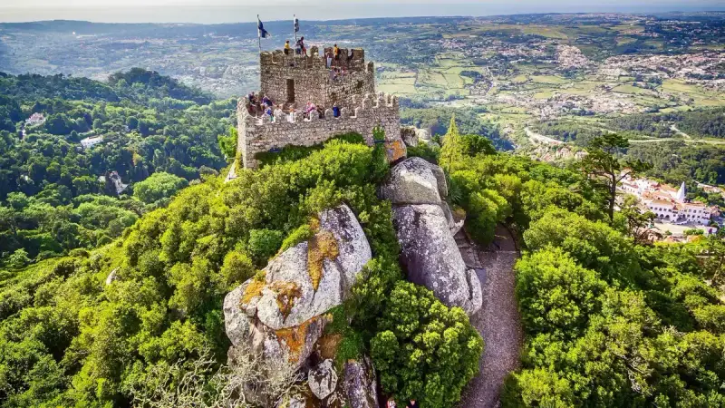
Sintra: Castle of the Moors Skip-the-Line Ticket
A skip-the-line ticket to the 9th-century hilltop ramparts above Sintra, with an audio guide and transportation to the castle included. It is a steep uphill walk once you arrive, so wear real shoes.
Check Availability from $14.00
Sintra: Pena Palace and Park Entrance Ticket
A skip-the-line entrance ticket to Pena Park and the palace's exterior grounds, with the Chalet of the Countess of Edla and an audio tour included. It does not include the palace interior route, which needs its own separate ticket option.
Check Availability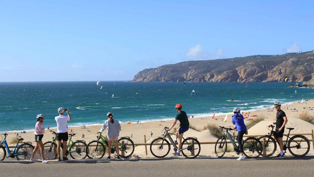 from $92.34
From Lisbon: Sintra to Cascais Full-Day E-Bike Tour
An 8-hour electric-bike tour covering a 40km route from Sintra to Cascais through forests, villages and the coast, with train tickets both ways included and a lunch package for around €20 per person.
Check Availability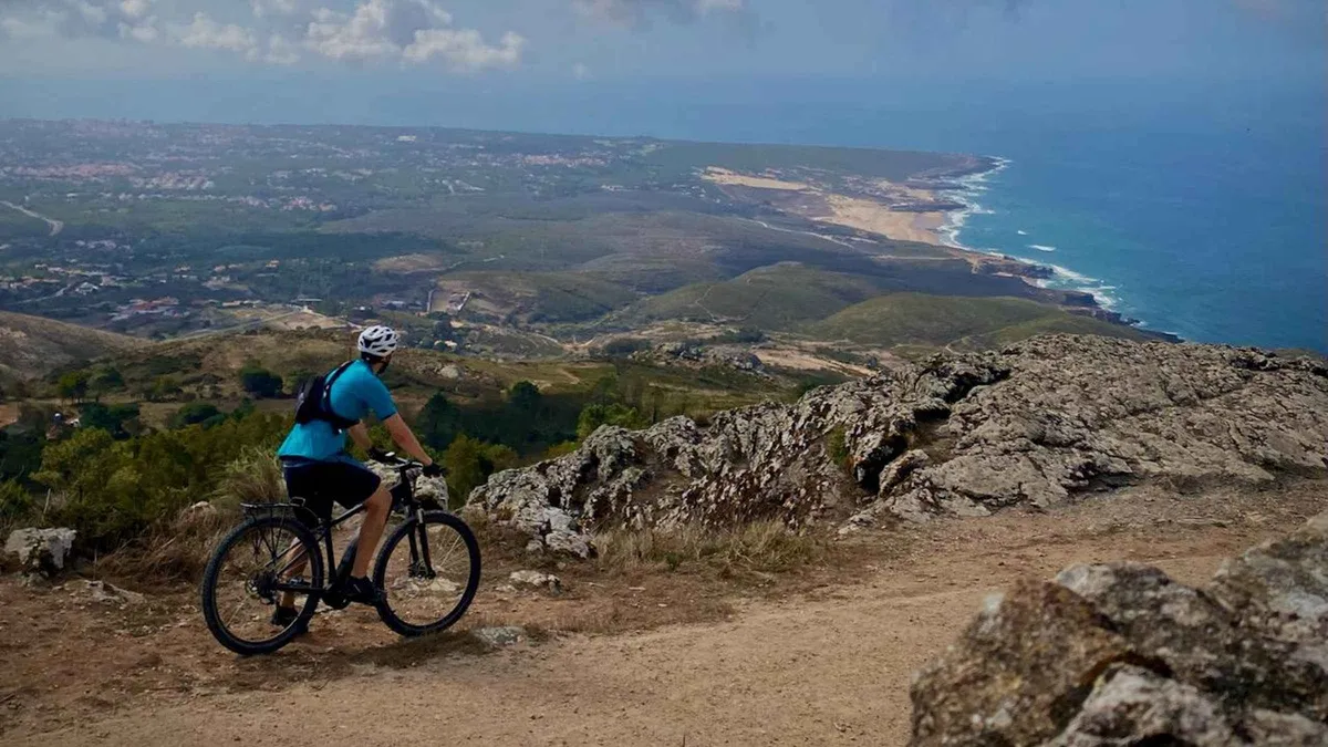 from $98.11
From Cascais: Sintra Guided E-Bike Tour & Guincho Beach
A 4-hour guided e-bike tour from Cascais into Sintra's forest trails, with lunch on Guincho Beach. A reviewer's actual ride ran closer to 6 hours and 25 miles, so it is more workout than a casual pedal.
Check Availability from $75.02
Half-Day Sintra: Pena Palace & Regaleira Small-Group Tour
A 4-hour small-group walking tour that starts in Sintra itself (not Lisbon), covering Pena Palace, Quinta da Regaleira and the historic centre. You reach the start point by train to Portela de Sintra, one stop before the main Sintra station.
Check AvailabilityPrices, ratings and details are the platform's own. dollar figures are the listed prices — the platform bills in your account's currency.
Trailhead Map
Every official trailhead on one map, from the town loops to the northern beaches, with each pin's published length and climb.
Coordinates are the official start points published on Visit Sintra's walking page. The three Parques de Sintra castle trails start in the town area and are described in the castle section above.
Near This Page
Three pages that pair directly with a walking plan.
Moorish Castle
The endpoint of all three Parques de Sintra trails and the PR2/3 loop. Our Moorish Castle page covers tickets, hours and what the ramparts visit involves.
Trailheads in townSintra-Cascais Natural Park
The protected area most trails cross. Our park page sets out its geography and the 14,583 hectares managed under ICNF.
Covers the Serra and coastConvent of the Capuchos
The 1560 convent sits on two Serra routes. Our Convent of the Capuchos page covers the $12.69 (€11) ticket and the 09:00-17:30 opening.
On PR6 and PR11Sintra Hiking: Questions
How can I hike to Pena Palace from Sintra?
The municipal PR2/3 Pena e Mouros loop runs about 4.5 km from the National Palace, linking the town, the Castelo dos Mouros and the Palácio da Pena with 140 m of cumulative ascent. No duration is published for it. The palace and its park are ticketed, so see our Pena Palace tickets page and Pena Palace page.
Can you walk from Sintra town to the Moorish Castle?
Yes, and it is the official recommendation. Parques de Sintra marks three trails to the castle: the Santa Maria Trail, 1,770 m in 1 hour, the Seteais Trail, 2,410 m in 1 hour 30, and the Villa Sassetti Trail, 1,850 m in 45 minutes. Private vehicles are not authorised on the castle access. Details on our Moorish Castle page.
What is the easiest hike in Sintra?
Among the municipal routes, PR1 Santa Maria is the shortest and rated low difficulty: 1.9 km circular with 141 m of ascent, starting at Largo Rainha D. Amélia. PR5 Quintas is close behind at 2.3 km and 128 m. Both start from the town centre described on our Sintra village page.
What is the longest marked trail in Sintra?
The GR11-E9 Caminho do Atlântico, a linear 29.7 km route from Azóia to Carvalhal with 825 m of ascent and an official average duration of about six hours. It is the only municipal route with a published walking time. Note it is impassable between Praia da Adraga and Praia Grande because of works. See the coast trails section.
Are Sintra's trails open?
Check before you go. Visit Sintra's walking page carries a notice that, after continuous adverse weather, the Serra de Sintra walking and cycling routes are unavailable for safety, with no reopening date. Separately, PR7 and the GR11-E9 are impassable between Praia da Adraga and Praia Grande for works. The current status sits in the closure section.
Do you need a ticket to hike in Sintra?
The trails themselves are free, and the municipality's PR routes and the GR have no entry charge. Tickets are needed only at the monuments the trails reach: the Moorish Castle at $13.84 (€12), Pena Park at $13.84 (€12), and the Convent of the Capuchos at $12.69 (€11). Ticket options are on our tickets page.
Where can I download Sintra trail maps?
Visit Sintra's official walking page carries the routes, information panels and downloadable GPX georeferencing files for the Pequenas Rotas and the GR11-E9. Parques de Sintra publishes its three castle trails on its own access page. For orientation, start from the trail table and our Sintra map page.
Sintra Hiking on Film: the Climb to Pena and the Castle
Three hikes filmed on the ground: the climb to Pena, the PR2 and PR3 routes, and a long walk from Sintra toward Cascais.
Hiking the Trail in Sintra to Pena Palace, Portugal 🇵🇹
The trail up from town to Pena Palace, step by step.
Video: West Goes EastSintra Hiking Trail PR2 and PR3 | Hike from Pena Palace to Sintra Old Town | Sintra | Portugal 🇵🇹
The municipal PR2 and PR3 routes between Pena and the Moorish Castle.
Video: Country Roads and Blue SkiesHiking from Sintra to Cascais, Portugal
A guided hike from Sintra toward Cascais along the Serra and the coast.
Video: Macs AdventureVideos load from YouTube only when you press play.
Prices, hours and terms are set by the venue or operator and confirmed at checkout.
We may earn a commission if you book through one of our links, at no extra cost to you. Full affiliate disclosure